
Services
Geographic Information Systems (GIS)
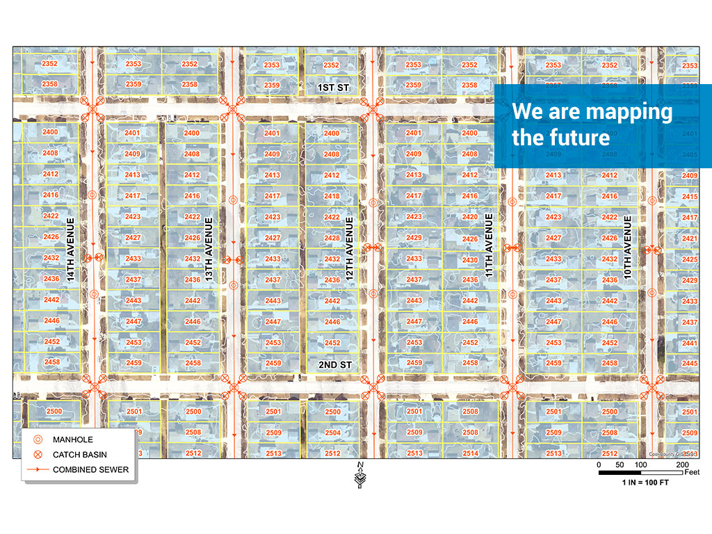
Municipalities utilize GIS to capture, manipulate, analyze and present data in a geographical format in order to improve communication between themselves and their residents. Whether it is used to interactively map water main breaks or coordinate a community event, our GIS staff has the expertise to build and organize a GIS database that works for your community. Our GIS services include, but are not limited to, utility atlases, pavement management, community planning, mapping, administration, and GPS data inventories.
